The Only Democracy? » Discrimination, On The Ground Reports » Photo Quiz: Can you identify the military prison?
Photo Quiz: Can you identify the military prison?
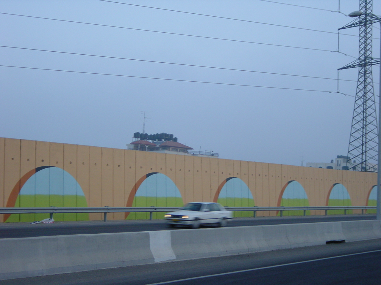
Last week as I drove to Ofer Military Prison in the West Bank to attend a hearing of Abdallah Abu Rahma from Bili’in, it struck me that most people driving past these huge walls on their commute to Jerusalem don’t realize they are driving past a prison. That’s actually not surprising considering the concrete landscape of the west bank.
Take the quiz for yourself and see how you do: Which of these photos is the a Military Prison in the Occupied Territories?
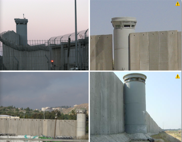
Which is the military prison?Top Left: Wall and guard tower around Ramallah. Top Right: Wall and guard tower around Bethlehem. Bottom Right: Wall and guard tower around Qaliqilya. Bottom Left: Ofer Military Prison
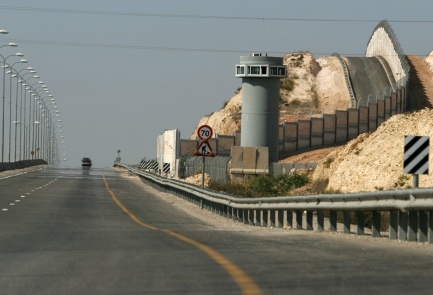
Ofer Military Prison is on highway 443 on the way to Jerusalem. Road 443 cuts through the West Bank and is infamously called "Apartheid Road" as Palestinians are forbidden from using it. Sadly this is only one of many roads in the West Bank that is restricted to Israeli only travel.
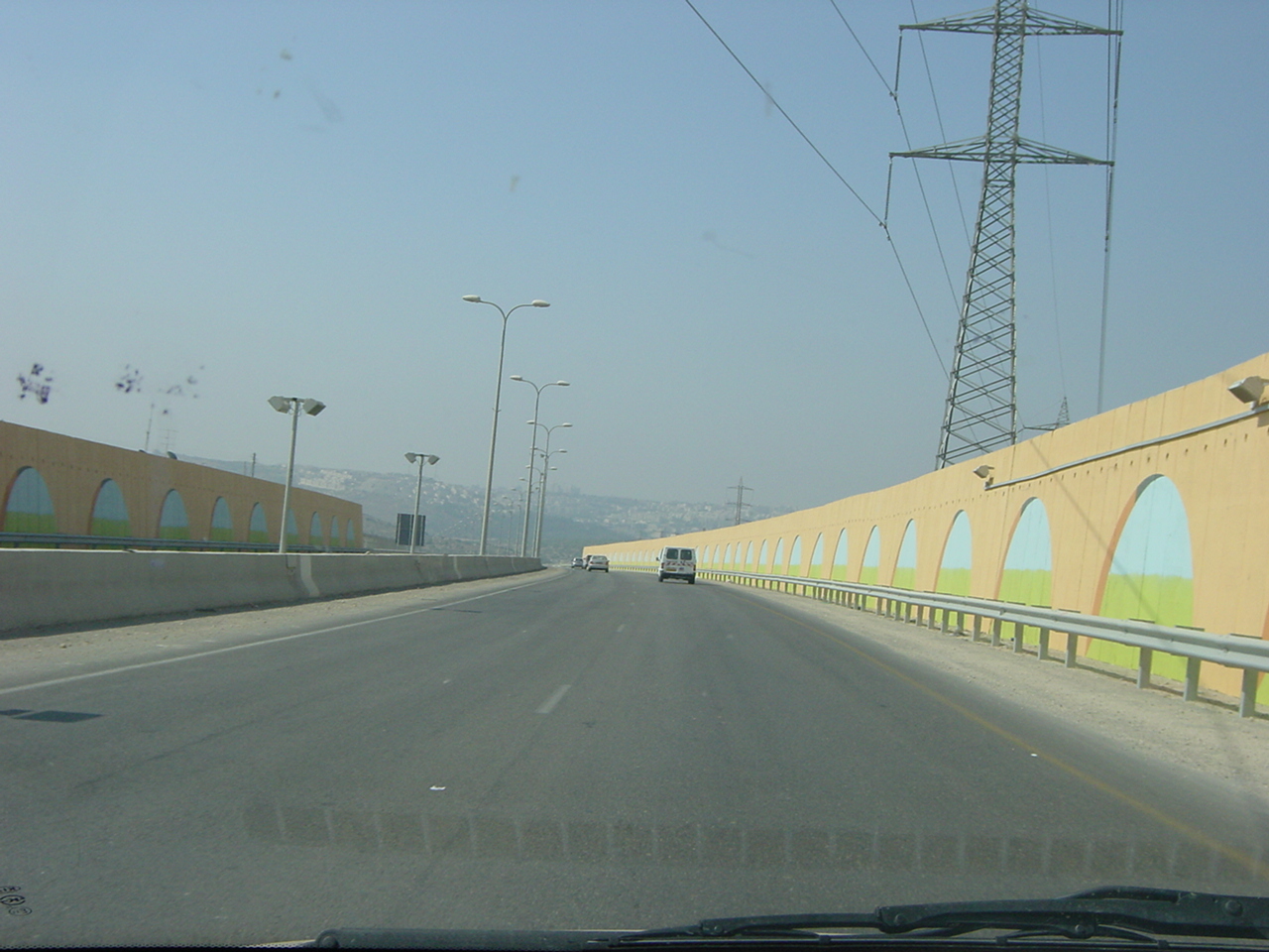
Road 443 exiting Jerusalem to the north west through the west bank. The walls are to prevent attacks on the roads. They also prevent Palestinians from easily accessing the other side of the village, and also I think just as importantly it saves Israelis from having to see our the people whose land we are driving through.
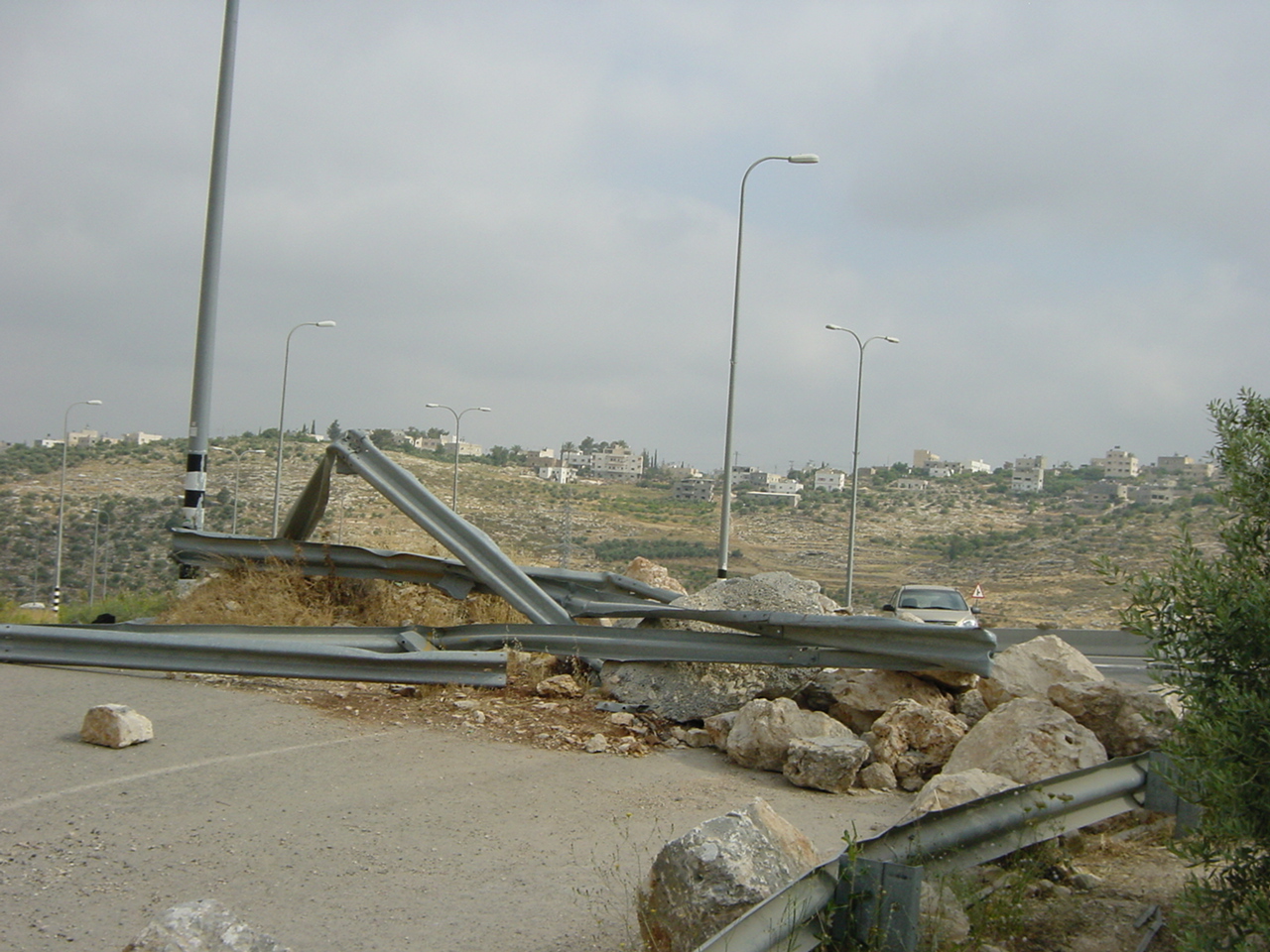
Blockade on Road 443. Palestinians access roads to 443 are blocked by mounds of rubble such as above, locked gates or cement blocks. The rational is Security. The military claims that allowing Palestinians access to the road (on their land) is deemed a safety risk for Israelis using the road.
Filed under: Discrimination, On The Ground Reports · Tags: Ofer Prison, Route 443, Wall


 “You have a choice! Israeli Anti-Militarists Speak”